BADLANDS
South Dakota
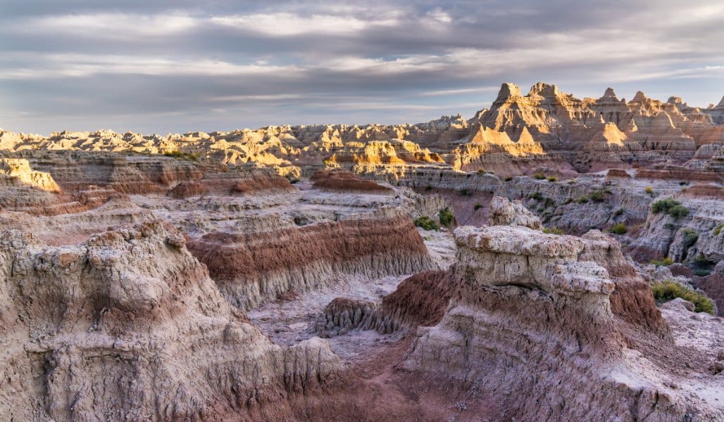
It looks like the inside of a cave that has been turned inside out and warmed by the sun.
Stefanie Payne
About the Park
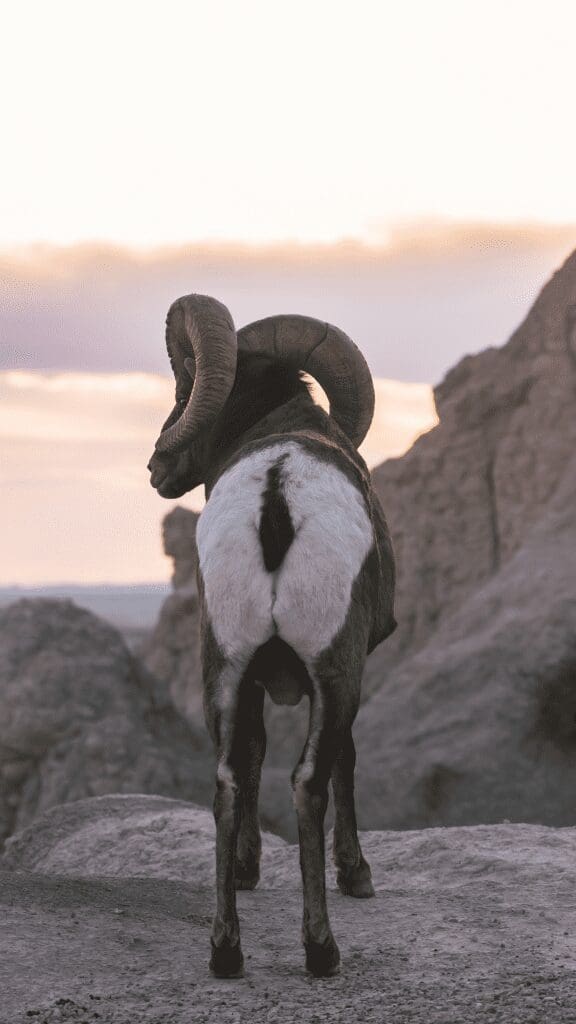
Visitors come from around the world to see the incredible geologic deposits, ancient fossil beds, and dramatic pinnacles of Badlands National Park. Located on the edge of the Great Plains in Southwestern South Dakota, the park’s vast expanses are home to bighorn sheep, bison, and prairie dogs, along with some fantastic hiking trails. It contains one of the best fossil beds in the world, which has enabled scientists to study the evolution of many mammal species. This unusual park is a must-visit as you explore the interior regions of the United States. We combined our time here with a visit to the Black Hills, which is about 40 miles to the west.
Live it up!
Best Things to do in the Park
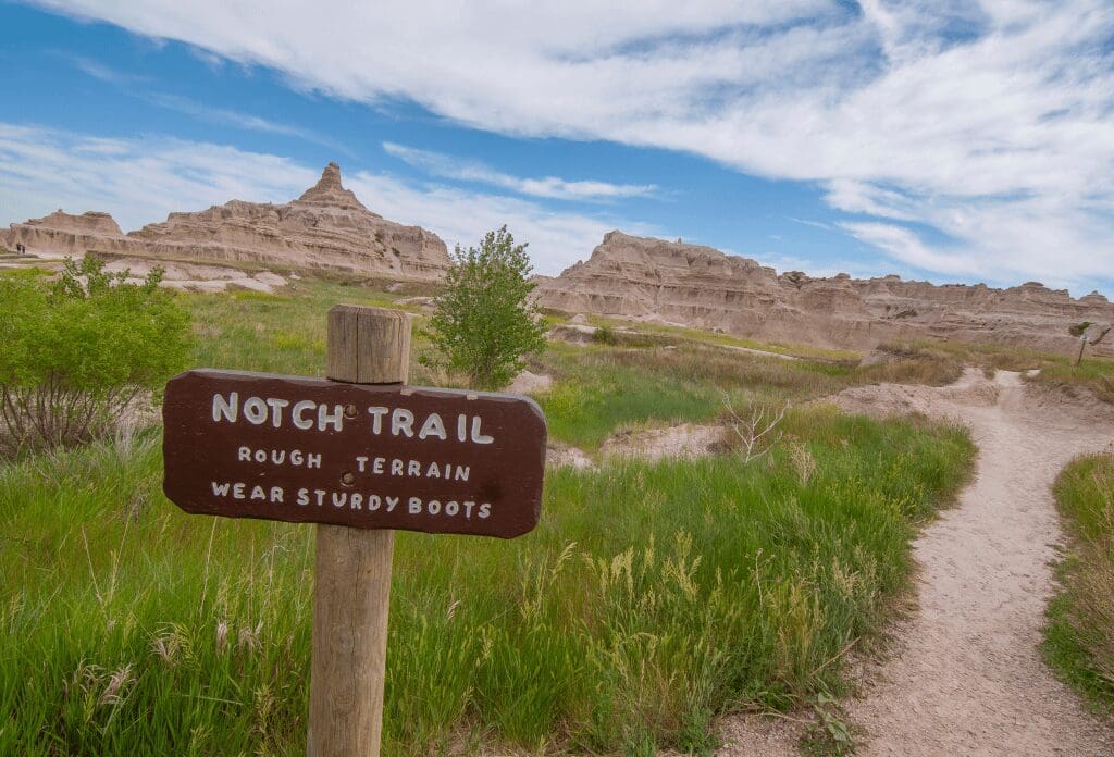
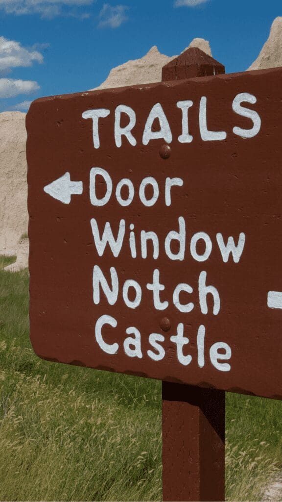
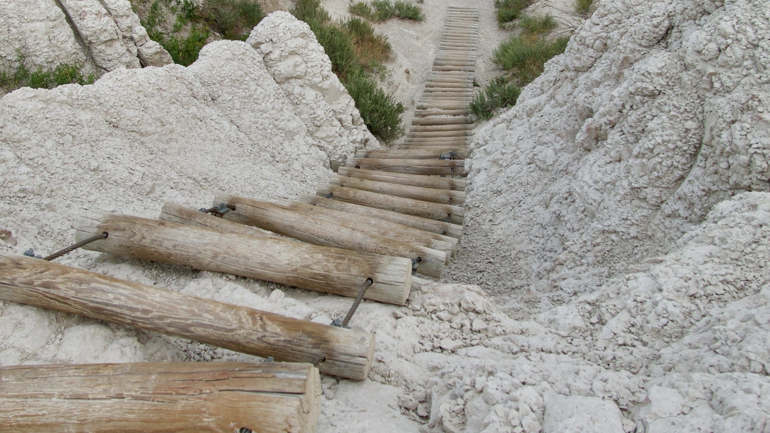
- Hike the famous Notch Trail and climb a long wooden ladder. You will end up at a great viewpoint
- Drive the 30-mile Badlands Loop Road. This cuts through the heart of the park with overlooks and trailheads along the way
- Learn some history from the past 75 million years on the Fossil Exhibit Trail
- Chuckle at the adorable prairie dogs at Roberts Prairie Dog Town
- Watch for herds of Bighorn Sheep
- Go to one of the overlooks and catch at spectacular sunrise or sunset
Overview
Year Established
1978
Size of Park
244,300
Annual Visitors
1.2 Million
Interesting Fact
The name comes from the Lakota, who called it ”mako sica”, or ”land that is bad”
Best Time to Visit Badlands National Park
We have linked a great website to this button showing the weather for this location by the month. Click below to be taken to Weather-and-Climate.com.
Season 1
Video
Park Information
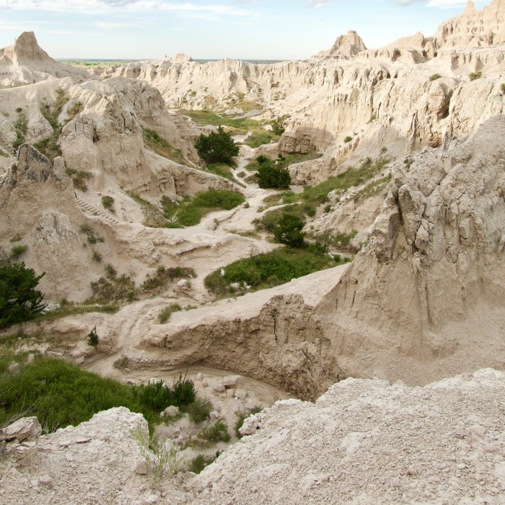
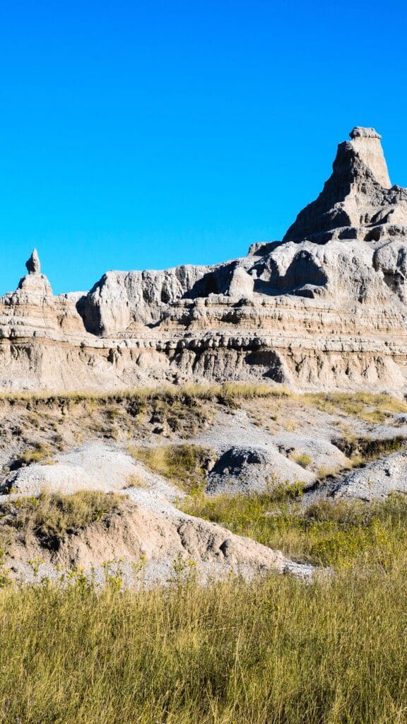
Picturesque yet eerie, a reminder of the ever-changing earth, the Badlands was first named so by the Lakota due to its terrain. It is known for its buttes, mixed grass prairies, and pinnacles formed due to extreme weather conditions in the past. Now, the Badlands National Park draws more than a hundred-thousand tourists from around the world to witness its unmatched appeal.
Situated in southwestern South Dakota and spreading across 244,000 acres, Badlands National Park was authorized as a National Monument in 1929 and established in 1939. It was designated a National Park in 1978. In 1959 the National Park Service completed the Ben Reifel Visitor Center.
Previously a reservation site for the Oglala Sioux Indians, the Badlands National Park is home to sacred cultural sites. The National Park Service and the Oglala Lakota Indians co-manage the South Unit. In 1980, the US Supreme Court awarded compensation for breaking the treaty in 1868, which assured the land would forever remain the property of the Sioux. However, after the award, the Sioux refused to accept the money.
Best South Dakota hiking trails in Badlands
The Badland National Park has eight official hiking trails ranging from a mile to 10 miles. However, it has an Open Hike Policy, allowing visitors to hike off the trail and choose their path. The difficulty level of these eight hiking trails ranges from beginner-friendly to expert. Due to its terrain, these trials are often easier to climb up and challenging on the way down.
Castle Trail
Castle Trailhead has a moderate difficulty level. However, always keep in mind that the land formation in some areas is soil, clay, and ash which can be unstable. So, make sure you take each step carefully, especially while descending.
It is one of the longest trails in Badlands National Park. It is a round trip of 10.8 miles that can take 3-4 hours. The trail is scenic; sod tables, open prairies, and spires leading into each other are interspersed as far as you can see. Starting from the east, you will see open prairies running into couloirs. At about 1.45 miles, the Castle Trail will connect with the Medicine Root Trail. Stay to your left, and you’ll stay on track. At 2.75 miles, you’ll come across a second junction, so read the boards carefully. The trail is filled with amazing views, but the last mile is breathtaking. You can also take the Fossil Exhibit Loop Trail or the Medicine Root Loop on your way back.
Medicine Root Loop
Medicine Root Loop is a 4-mile hiking trail with a 2,675 elevation change. It connects with the Castle Trail near the Old Northeast Road and ends with the Saddle Pass Trail junction. This trail is famous for its mixed-grass prairie and the magnificent view of the Badlands, which you can see in the distance. If you turn towards the south on this trail, you get to pass along a bed of rocks that were deposited by a glacial stream.
Fossil Exhibit Trail
The Fossil Exhibit Trail is just a 0.25 miles long, self-guided trail. This makes it one of the most accessible hikes in the Badlands National Park. It is a boardwalk. On this trail, you can witness fossil replicas and extinct creatures that once belonged to this area, taking you past 75 million years of history. This makes it a popular spot among fossil lovers.
Notch Trail
Notch Trail is a moderately challenging trail. It is 1.5 miles long and takes an average of 30 minutes to complete, with a maximum of 2,785 feet elevation. On this hike, you get to enjoy a canyon with incredible scenery, climb up a wooden ladder, and if you dare, you can also walk along a cliff trail! In addition, it has a great point to overlook the park at the end of a trail. This view was our favorite spot in the park. Another highlight of the walk is a 50-foot ladder looks more challenging than it is.
Saddle Pass Trail
The Saddle Pass is a 0.7-mile-long hiking trail with approximately 300 feet of elevation change! It is a fun, intermediate-level hike that runs through the rocky terrains of the Badlands and gets you right to the middle of the park. This was John’s favorite running spot, so check out our video above.
Camping in Badlands National Park
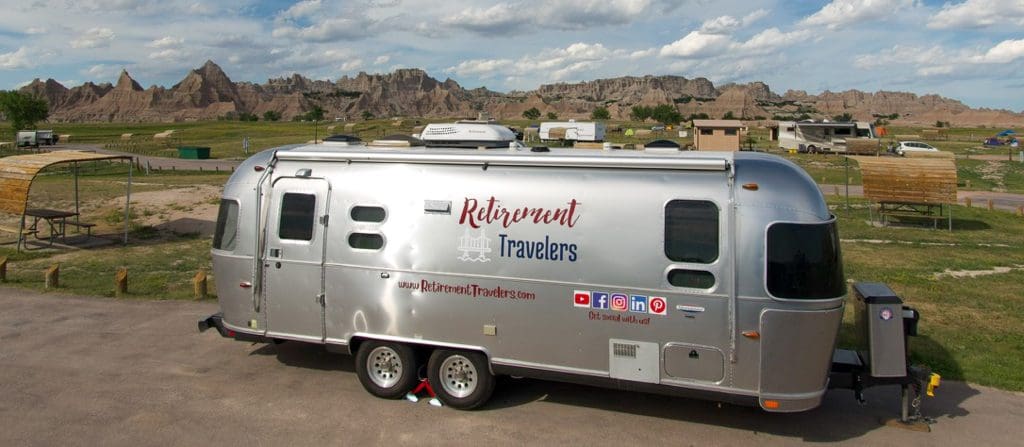
Cedar Pass Campground
The Cedar Pass Campground is near the Ben Reifel Visitor Center in the Badlands. It accommodates campers and RV’s. It is on high ground, with 96 sites, and has an excellent restaurant, Cedar Pass Restaurant, within walking distance. The campground is open all year long, but can be limited in the winter. You may book a site for 14 days at a time. Please note that campfires are not allowed in the park, but you can use a charcoal grill to cook on.
Sage Creek Campground
Sage Creek Compound is yet another fantastic campground with 22 sites. It is, however, located on an unpaved road that temporarily closes during the winter snows and spring rains. The campground is surrounded by hills and canyons and is very close to the hiking trails. It does not have electricity and is first come, first serve, and free of charge.
Boondocking on “The Wall”
If you love boondocking, then parking for two weeks along the “Wall” of the park will be perfect. While there are no amenities such as electricity and water, the views are incredible. It is considered one of the top places in the country to camp off-grid. The Bureau of Land Management manages it.
Best Viewpoints in Badlands, South Dakota
Big Badlands Overlook
The Big Badlands Overlook is the first stop on a tour across the Badlands National Park. As one of the largest viewpoints in the Badlands, it is a popular tourist spot and a great pit stop. It also gives you the opportunity to overlook the Eastern portion of the Badlands wall. You can really get an idea about the size of the park and its formations from this viewpoint. Furthermore, despite being an incredible sight at any time of the day and during any season, it is known to be most magnificent at sunrise.
White River Valley Overlook
The White River Valley Overlook is situated towards the west of the park, on the Badlands Loop Road, near the formations which are known as the Castle, which is among the incredible sights this viewpoint offers. At the south end view, you can see prairies beyond the Badlands. The White River itself is situated about six miles to the south of the viewpoint. This river flows down from the Missouri River. Furthermore, this overlook is also wheelchair accessible!
Yellow Mounds Overlook
The Yellow Mounds Overlook provides an incredible display of nature and its colors. The viewpoint exhibits the most colorful parts of the Badlands. In a sequence are the Yellow Mounds, the Interior Paleosol, Chadron, and Brule formations and these formations provide a display of yellow, purple, gray, and red in a singular view. These various colors were originally formed by the draining away of an ancient sea and decaying of the plant’s chemicals, changing the color of the soil. To get to the overlook, you have to make a 2-mile hike.
Getting to the Park
Your best way to get to the Badlands National Park in South Dakota is driving on Interstate 90, with Exit 110 and Exit 131, taking you to either end of the park. If flying, you’ll need to fly to Rapid City Regional Airport, where you can rent a car for the 55-mile drive.
Explore another National Park in the USA
We’ve visited 51 of the 63 parks. Check out our other guides.
