BIG BEND
Texas
You can all go to hell, and I will go to Texas.
Davy Crockett
About the Park
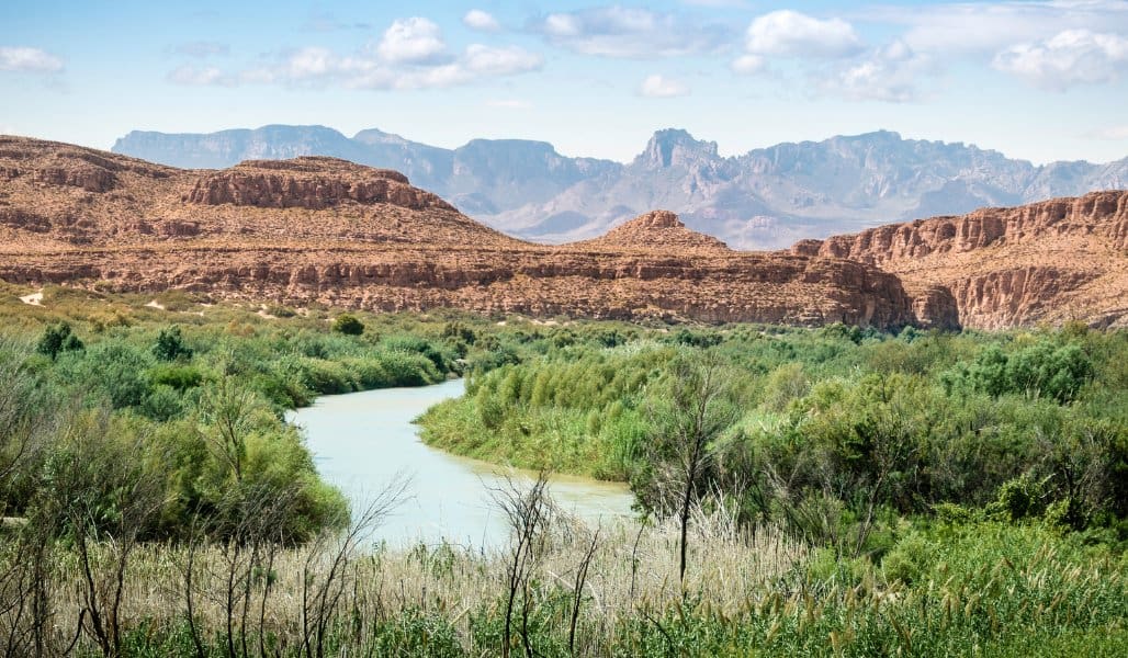
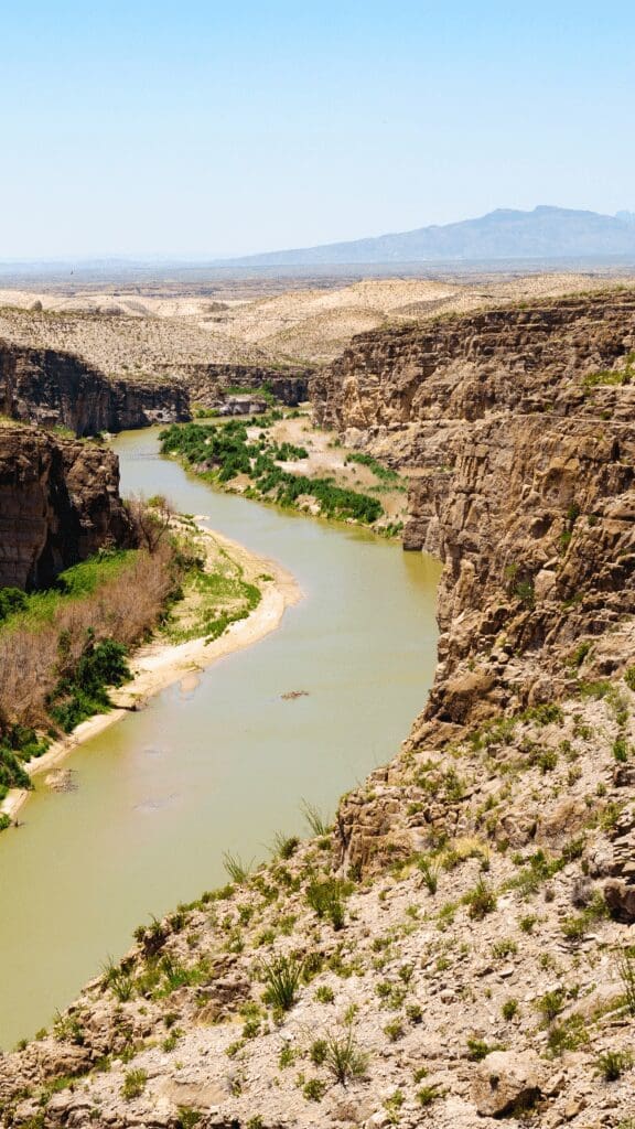
Big Bend National Park is a true wilderness. It includes deep canyons, tall mountains, vast desert expanses, and the ever-changing Rio Grande River meandering through the remote sections of West Texas. It was a long drive from San Antonio, but we are so glad we made the journey to this incredible park.
Live it up!
Best Things to do in the Park
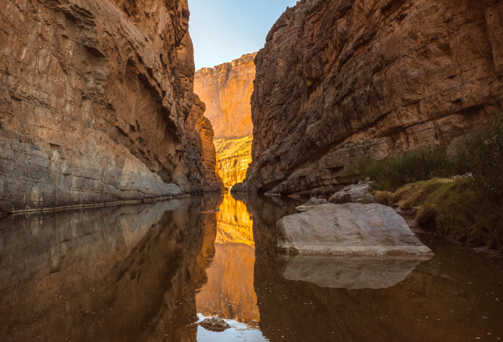
- Hike in Santa Elena Canyon and walk around in the Rio Grande River
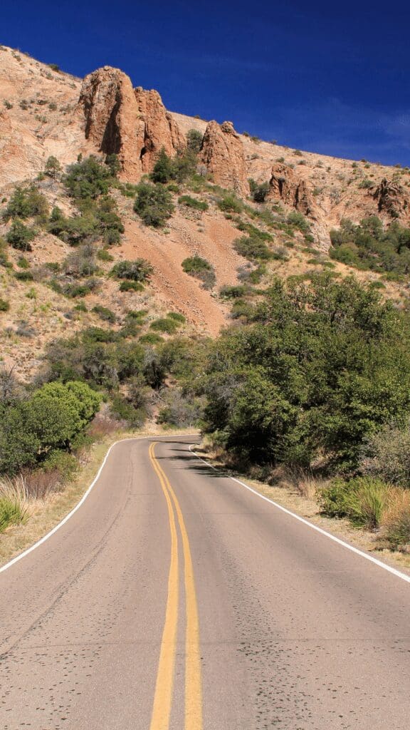
- Cruise around on the 30-mile Maxwell Scenic Drive for scenic overlooks
- Hike to the Emory Peak, which is the highest point in the park
- Stargaze at one of the darkest places in the country
- Take a nice hot soaking in the Rio Grande Hot Springs
- Cross the Rio Grande into the small Mexican town of Boquillas del Carmen for margaritas
Our Visit
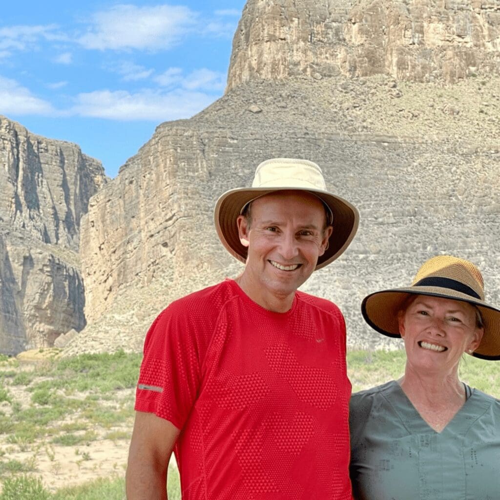
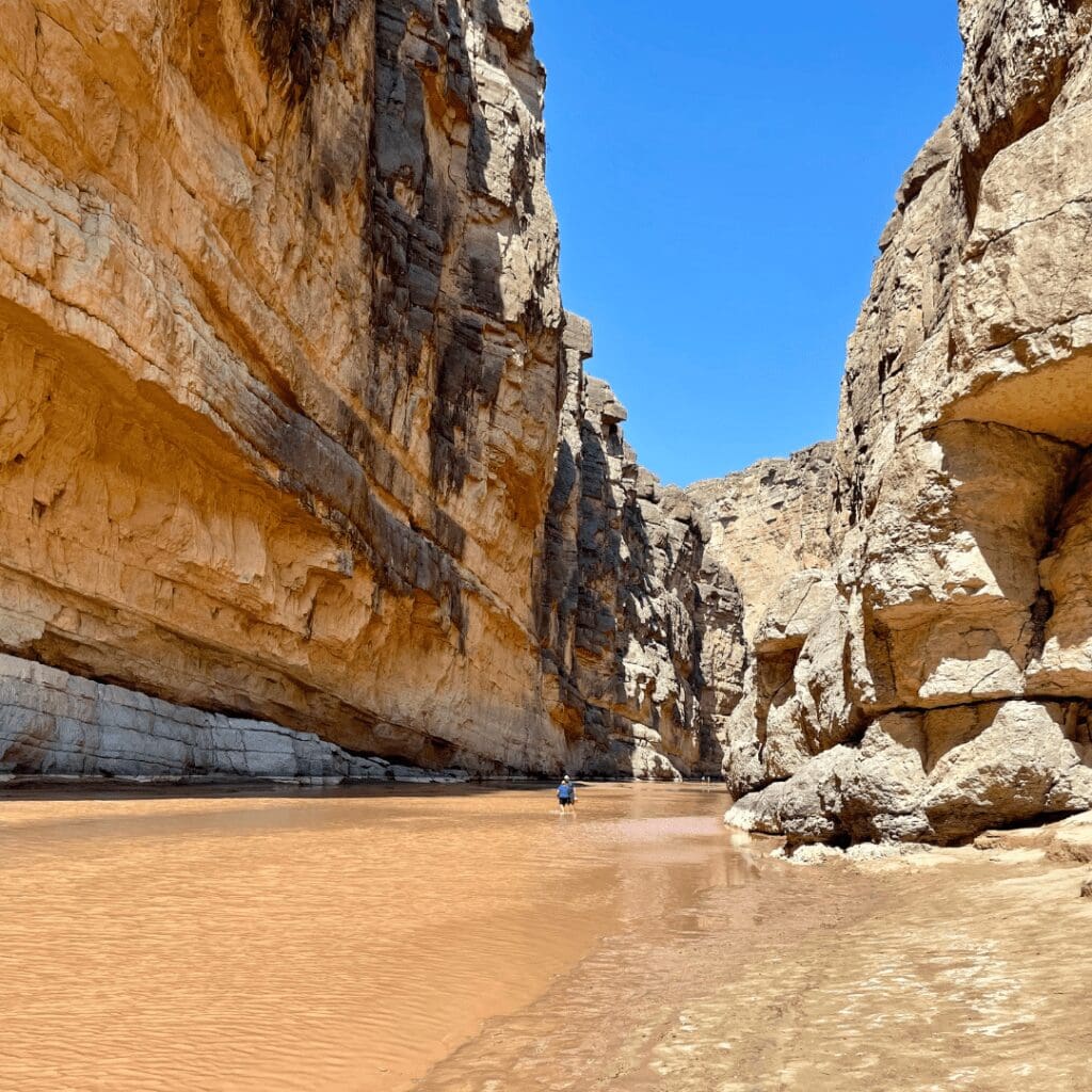
We have so many great memories of this park, but the best was removing our shoes and walking down the middle of the Rio Grande River in Santa Elena Canyon. The water was a foot or two deep, but the thick mud between our toes and the towering rock cliffs on each side made this a memory we will never forget.
Overview
Year Established
1944
Size of Park
800,000 acres
Annual Visitors
580,000
Interesting Fact
Big Bend National Park is larger in area than the entire state of Rhode Island!
Best Time to Visit Big Bend National Park
We have linked a great website to this button showing the weather for this location by the month. Click below to be taken to Weather-and-Climate.com.
Season 2
Video
Park Information
Big Bend National Park is located in southwest Texas and comprises a large part of the Chihuahuan Desert and the entire Chisos mountain range. Apart from its species diversity, the National Park is filled with temple-like canyons carved in limestone by the Rio Grande River.
Big Bend National Park is located in a remote area, so it can take up to four hours to drive to the park from the closest airport. Most people find that spending a few days to a week is enough time to enjoy this beautiful park. The best and most popular time to visit the park is in the spring when the wild flowers blanket the area. It’s on our bucket list to return to see it one day.
Due to its large size, the park has been divided into three main sections: Chisos Basin, the Ross Maxwell Scenic Drive region, and the sights in/around Rio Grande Village. By exploring these three sections, you can cover the entire park.
Best Hiking Trails in Big Bend National Park
This park is called the hiker’s paradise for a good reason. There are more than 150 miles of trails inside the park, with an elevation ranging from 1,800 feet to 7,832 feet in the Chisos Mountains. Here, you will find hikers and people on backpacking trips making the most of these trails. Choose the best hiking trails that best fit your skill set, and you will not be disappointed!
Window View Trail
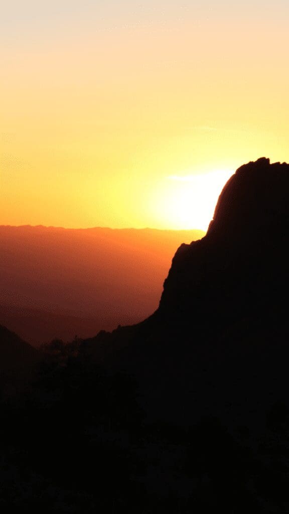
People who want a stroll can choose the Window View Trail. The trail leads to a viewpoint crowded at sunset because of its striking scenic views. This trail forms a 0.6 km loop which takes 20 minutes to complete and is also considered the most accessible hike in the park.
Because of its short distance, most people pick this track to have an easy hiking experience. Due to its popularity, this trail might get a bit crowded during the day. However, you can easily beat the crowd if you start your hike early in the morning. Benches have also been installed at the lookout points, which can be convenient for older people and children.
Chisos Basin Loop
If you want occasional views of the mountains, Chisos Basin Loop is another easy hike. The trail is laid across the Chisos Basin Valley, where you will pass Mexican pine, juniper, and oak forests and look at the surrounding mountain range.
While the pathway is rugged and rocky, it is also well-marked. The area may have bears or mountain lions, so you should be aware. On your way, you may also encounter various species of birds.
Lost Mine Trail
The Lost Mine Trail has a moderate difficulty level. It is also one of the most popular hiking trails in the park, mainly because of the views it offers once you reach the top.
As you start the hike, it is a steady uphill walk where you will only have occasional views of the surrounding mountains. However, once you reach the top, you will have a panoramic view of the valleys and mountains in the area, which is a breathtaking sight.
Emory Peak
This hike is for more experienced people who want an adventure and a better view of the park. There are two ways to this trail; the most direct way is to hike to Emory Peak from the Chisos Basin Center, whereas the alternative route goes from South Rim Trail, which is packed with many adventures.
The hike can take five to seven hours and can be extremely tiring for those not used to this activity. The ascent of this trail is 2440 feet, the highest point in the Big Bend National Park and the Chisos Mountains. As challenging as the hike is, once you reach the top, you will realize it was worth the effort!
Hot Springs Historic Trail
The hot springs in the Hot Springs Historic District are not accessible by car and are located half a mile from the trailhead. The water in the hot springs contains dissolved minerals and is considered ancient and irreparable.
Spring water temperature is about 105° F and is believed to have therapeutic effects. However, if you have sensitive skin, check the water’s temperature before getting in. Make sure it is not too hot, or you might get burnt.
Camping in Big Bend
The park has four campgrounds, three of which provide restroom facilities and drinking water. Only charcoal fire is allowed in the park on the above-ground grill, and ground fires or wood fires are strictly prohibited.
Chisos Basin Campground
The Chisos Basin Campground is located within a scenic mountain basin at the center of the park. At the same time, the Chisos Basin Group Tent Campground is a separate ground with seven campsites.
Cottonwood Campground
The Cottonwood Campground is located near the Rio Grande at an elevation of 1,850 feet. Picnic tables, running water, and overhead shelters are available at this campsite.
Rio Grande Village Campground
The third campground is the Rio Grande Village Campground, located on the east side of the park. This ground is quieter, and its dry camping does not allow any generators or hook-ups.
Rio Grande Village RV Park
The fourth campground, Rio Grande Village RV Park, is a concession campground adjacent to the Rio Grande Village Store. This 25-site RV park has electrical, water, and sewer connection. For 40′ or longer RVs, some sites may not be available.
Big Bend National Park is in a remote area, so you will need a reservation before you plan your trip. Due to the influx of tourists, you may be unable to arrange lodgings and camping after arriving in the park. In addition to that, campground policies also dictate that you can only avail of services through prior reservations.
Best Viewpoints
Santa Elena Canyon
To enjoy the Santa Elena canyon, you must hike for 1.7 miles first. While the hike to the canyon is easy, a significant portion of the trail is located at the edge of the river with 1500 feet walls on either side. You will have stunning views of the Santa Elena Canyon, but the fun doesn’t stop there. Kick off your shoes and wade the river. It is a joyful and cooling experience. One of our best memories!
Luna’s Jacal
Luna, a Mexican farmer, lived in this homemade hut in the Chihuahuan desert for over 60 years. This place offers a look at less advanced way of living. You will find the cabin on Old Maverick Road and will be intrigued by this shelter/house from the 1890s. Moreover, informational signs on the site provide a deeper insight into the hut.
Balanced Rock
Balanced Rock is a giant boulder perfectly perched on two massive sandstones. To look at this natural wonder, you must hike almost 2 miles. The trail is relatively flat, and the last chunk of the trail leads uphill, which can be adventurous for some people. The Hikers can sometimes spot colorful lizards in the area that you won’t be able to see anywhere else. The landscape with these unique formations is a testament to how nature works in mysterious ways!
Boquillas Canyon
Boquillas Canyon is the deepest and longest canyon in the Big Bend that cuts through the tall limestone cliffs. As a result, Boquillas offers one of the on-water experiences in this area. You can hike along the Boquillas Canyon Trail, which is set along the river’s edge or enjoy the river’s grade 2 rapids on a boat.
Getting to the Park
Big Bend is a very remote park and the closest airports are El Paso, Texas (330 miles away) and Midland/Odessa, Texas (235 miles away). Driving times will give you an opportunity to see some remote areas of the Lone Star State. Driving time from El Paso is 4.5 hours, Odessa is 3.5 hours and San Antonio is 7-hours.
Explore another National Park in the USA
We’ve visited 51 of the 63 parks. Check out our other guides.
