DEATH VALLEY
California
For my part, I travel not to go
Robert Louis Stevenson
anywhere, but to go. I travel for travel’s sake. The great affair is to move.
About the Park
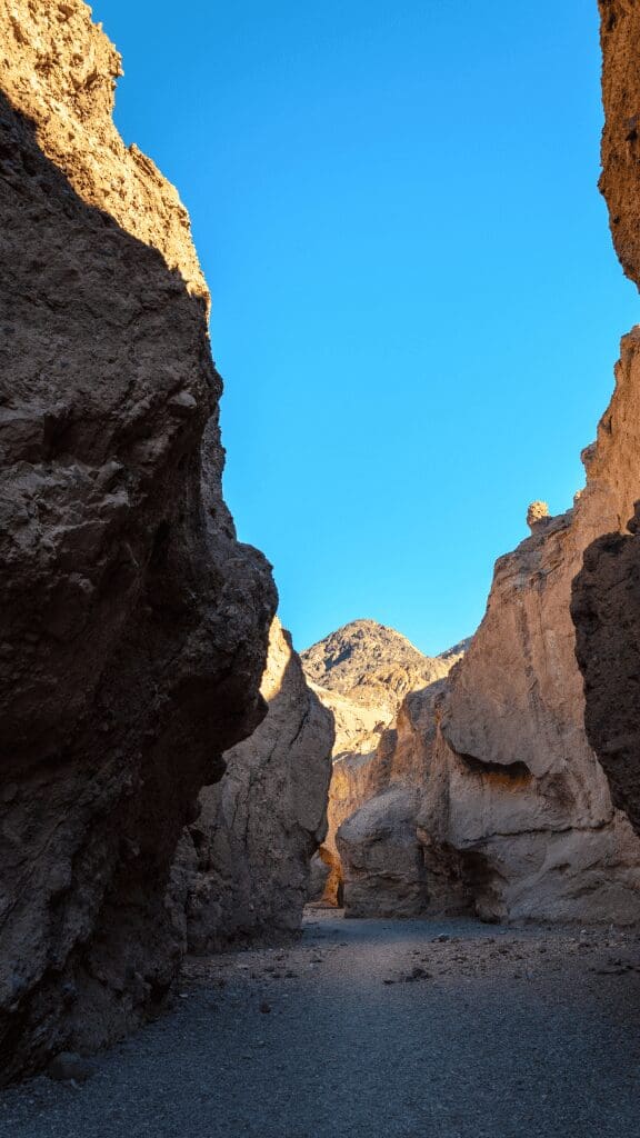
Death Valley National Park is a beautiful area with challenging landscapes and conditions. The unique wildlife has adapted and somehow thrived in this harsh environment. It is the hottest, driest and lowest national park, with Badwater Basin at 282 below sea level. This experience was one of our favorite parks and the biggest surprise of any national park we visited. We visited in the summer and woke at 4 AM to get to the park before the heat set in. It was a glorious day for us, and we hope to return one day.
Live it up!
Best Things to do in the Park
- Head to Badwater Basin to be at the lowest point in North America at 282 feet below sea level
- Drive to Dante’s View for one of the best viewpoints in the park
- Stop by the Devil’s Golf Course for some unique salt crystal formations
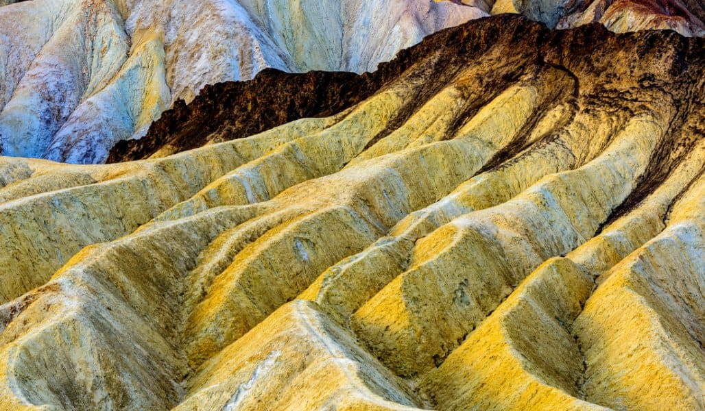
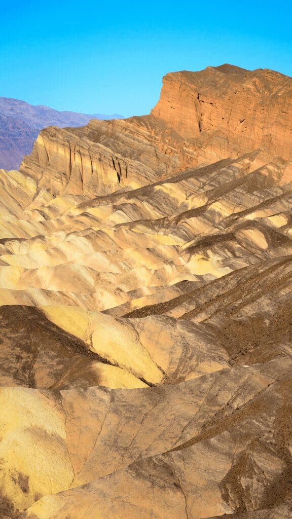
- Take the 9-mile Artists Drive to see the pink, purple and aqua colors of the Artists Palette
- Hike Telescope Peak (a difficult 14 mile hike) to see the highest (Mt. Whitney) and lowest(Badwater Basin) points in the continental United States AT THE SAME TIME
Our Visit
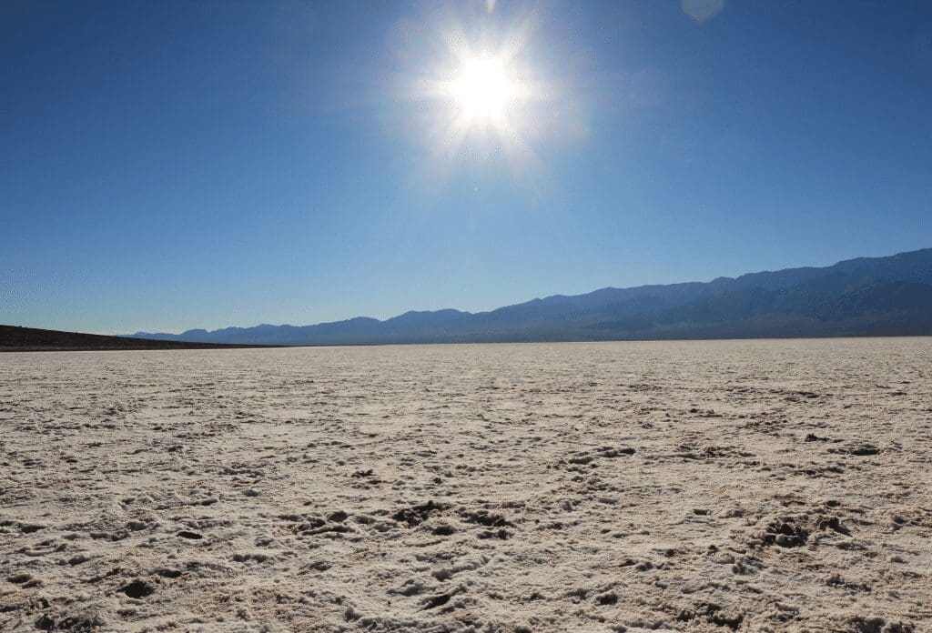
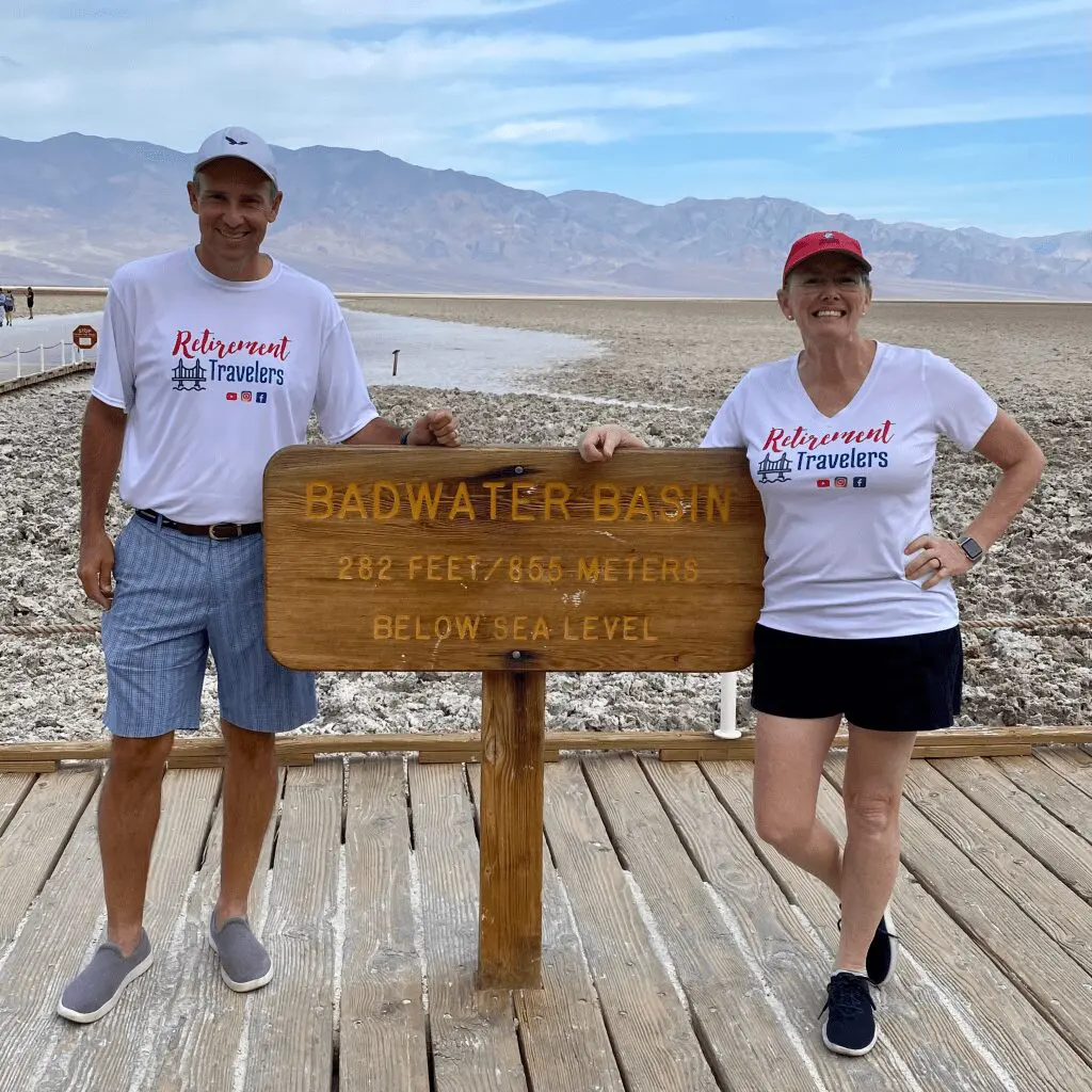
We visited Death Valley on a day trip from Las Vegas, Nevada. It was during the summer, and the expected highs would be 115 degrees in Death Valley. We arrived at 6 am and immediately went to Badwater Basin, the lowest point in the United States at 282 feet below sea level.
Overview
Year Established
1994
Size of Park
5,270 square miles
Annual Visitors
1.30 million
Interesting Fact
During the summer months, Death Valley is one of the hottest places on Earth.
Best Time to Visit Death Valley NP
We have linked a great website to this button showing the weather for this location by the month. Click below to be taken to Weather-and-Climate.com.
Park Information
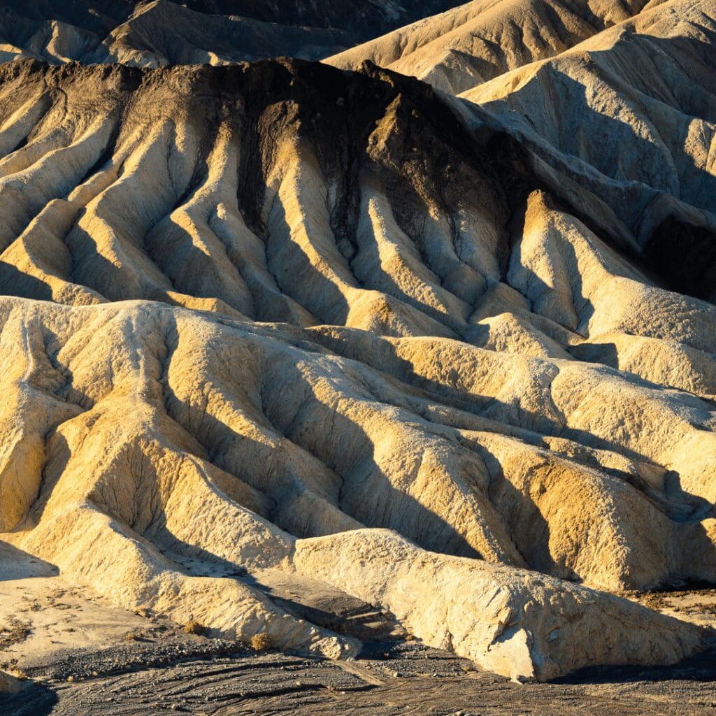
The Death Valley National Park is spread over more than three million acres of land on the California-Nevada border. The park touches Panamint Valley, Eureka Valley, and Saline. It consists of basins, salt flats, canyons, badlands, valleys, and mountains. According to UNESCO, the park is also a part of the Mojave and Colorado Biosphere Reserve.
Death Valley National park is the fifth largest National park in the United States. Due to its vast expanse of land, 93% of the park is designated a wildlife area. While the region has harsh temperatures, certain animals and plants have adapted to the environment and flourished in these areas.
Best Death Valley Hikes
Death Valley National park trails are some of the most versatile, passing by sand dunes and mountains capped with snow, rock layers, and canyons. The park has 102 trails, but only some of them can be visited all year around. The Death Valley hikes range from -288 feet to 12,000 feet in elevation and have off-beaten paths that lead to incredible views.
The extreme temperature and terrain add to the park’s beauty, but you should keep a few things in mind. First, visit the ranger center before your hikes to ensure favorable weather. Due to higher temperatures and favorable terrain, there are snakes in the area.
Badwater Basin Salt Flats Trail
The Badwater Basin Salt Flats Trail is the easiest trail in the park. This 1.9-mile-long trail is very popular amongst visitors and was on our bucket list of trails. It is an out-and-back route and has the lowest elevation in North America at -288 feet. Be sure to stop and take your picture at the iconic sign showing the lowest point in North America.
About a quarter mile into your hike, you will see polygon salt formations which will run on for the rest of the trail. The trail is fairly flat, with sand dunes and mountains on the horizon. It is accessible to those with physical disabilities.
Golden Canyon and Gower Gulch via Zabriskie Point Trail
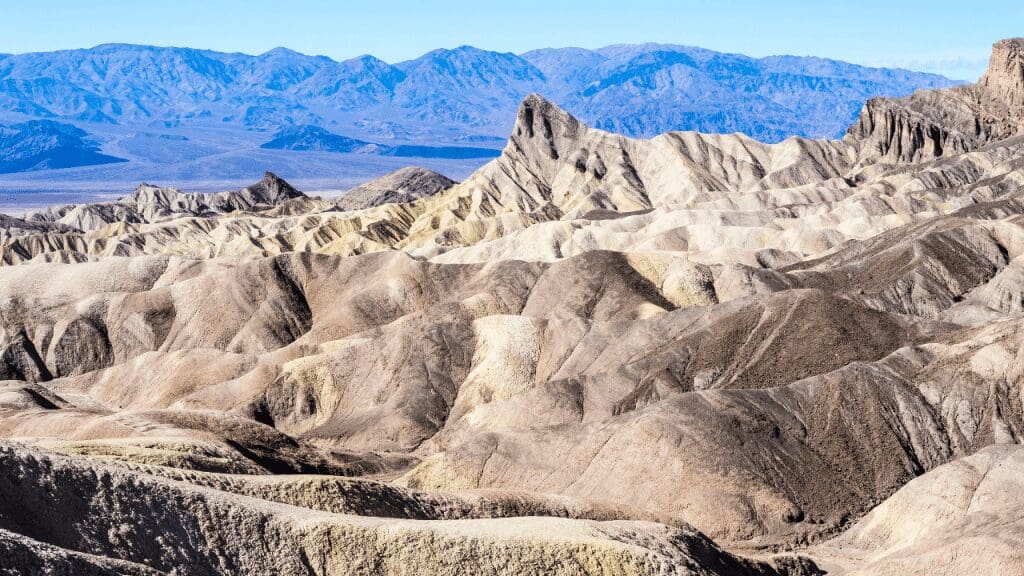
This 6 miles trail can take up to 4.5 hours to complete and can be accessed from the Furnace Creek Ranch. You might spot wildlife in their natural habitat along this trail, and you can view the park’s history through the differently colored strata. The trail features stunning badlands, canyons, and geologic history.
It is advised that this trail not be taken during the summers as the temperature gets really high, and there is no shade along the way. Apart from that, there are chances of flash floods which make the route quite dangerous if rain is in the forecast.
Mosaic Canyon in Trail
The Mosaic Canyon trail is 4 miles long and takes about 3 hours to make a round trip. It is a moderate to difficult trail across Stovepipe Wells Campground.
Within the first 20 minutes, you will notice the canyon narrow down and see walls of Noonday Dolomite that have been polished due to the flash floods that occurred in the area. The trial has a lot of steep drop-offs and is more suited for hikers accustomed to moderate-difficult hikes.
Mesquite Flat Sand Dunes
This 2.7-mile-long trail along the sand dunes takes about an hour to finish. It is an easy route which means you will find many hikers along the trail. Before starting your hike, ensure the weather is not windy, as flying sand can make the hike uncomfortable.
While they aren’t the biggest sand dunes, they are worth a visit. Since the weather gets hot, pets aren’t allowed on the trail, even if you carry them. It is recommended to bring water.
Dante’s Ridge
This trail is about a mile long and takes about 30 minutes to finish. It is an easy trail, and the view is breathtaking. It is a famous point; therefore, you’ll see many hikers waiting for the sunset to watch the stars. Dante’s Ridge is 5000 ft above Death Valley, and visiting the ridge is an admirable goal.
Camping in Death Valley National Park
Furnace Creek Campground
This NPS campground is the most popular in the area, and many people make advanced bookings in order to get space here. While it is not an RV-only campground, it does cater to RVs.
It has 45 tent-only sites, 5 group sites, cell reception and 11 electric hook-ups as well. It also has staff on site and potable water. The site also has well-maintained bathrooms with running water.
The Sunset Campground
The Sunset Campground Death Valley has a total of 270 sites, mostly preferred by RVs and trailers rather than campers. While it does not offer a fire gate or picnic table, it does offer a dump station, potable water, and seasonal staff on site.
Wild rose Campground
This campground is better suited for those who feel at home in the elements. The site is prone to high winds, blowing gravel and dirt from the surrounding areas. The campsite has no electric hook-ups, and the generator is allowed only within a limited time frame. It has no on-site dump station or staff.
Stovepipe Wells Campground
Located near the Mesquite Sand Dunes, Stovepipe Wells Campground has 190 sites. It has a camp store in the vicinity and also offers firewood as temperatures might drop at night. It has 28 tent-only sites with fire gates; other sites allow gas stoves but not charcoal ones. You will have access to flush toilets.
Best Viewpoints
Badwater Basin
Badwater Basin is a long stretch of land made of pure table salt. This stretch of land ends in the black mountains and is an impressive sight. Tourists worldwide come to visit and take pictures at Badwater Basin.
Devil Golf Course:
Jagged spires, formed due to wind and rain, running for miles. It is famous because if you put your ear to the ground, you can hear the salt crystals breaking. We loved stopping here and taking pictures. We met a nice young couple and made new friends. Good memories!
Artist’s Drive
Spread over 9 miles, the multi-hued volcanic sediments can be seen at Artist’s Drive. The ground metals bring out orange, pink, brown, green, and turquoise hues. This was a nice drive, and we couldn’t help but proclaim the entire stretch how we had no idea Death Valley was so beautiful!
Other popular viewpoints
Mesquite Sand Dunes
Ubehebe Crater
Rhyolite Ghost Town
State Information
Click on the button to explore the state and travel guides for the area.
Getting to the Park
The nearest major airport is Las Vegas McCarren, which is about two hours from the park entrance.
Explore another National Park in the USA
We’ve visited 51 of the 63 parks. Check out our other guides.
