SAGUARO
Arizona
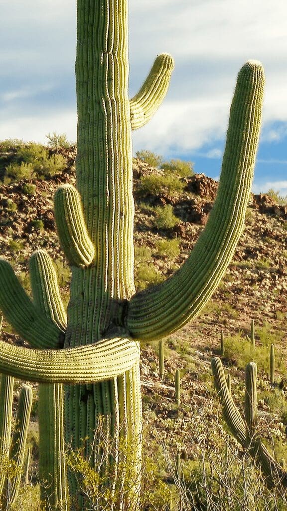
May your time in nature, lead you to yourself…
Shikoba
About the Park
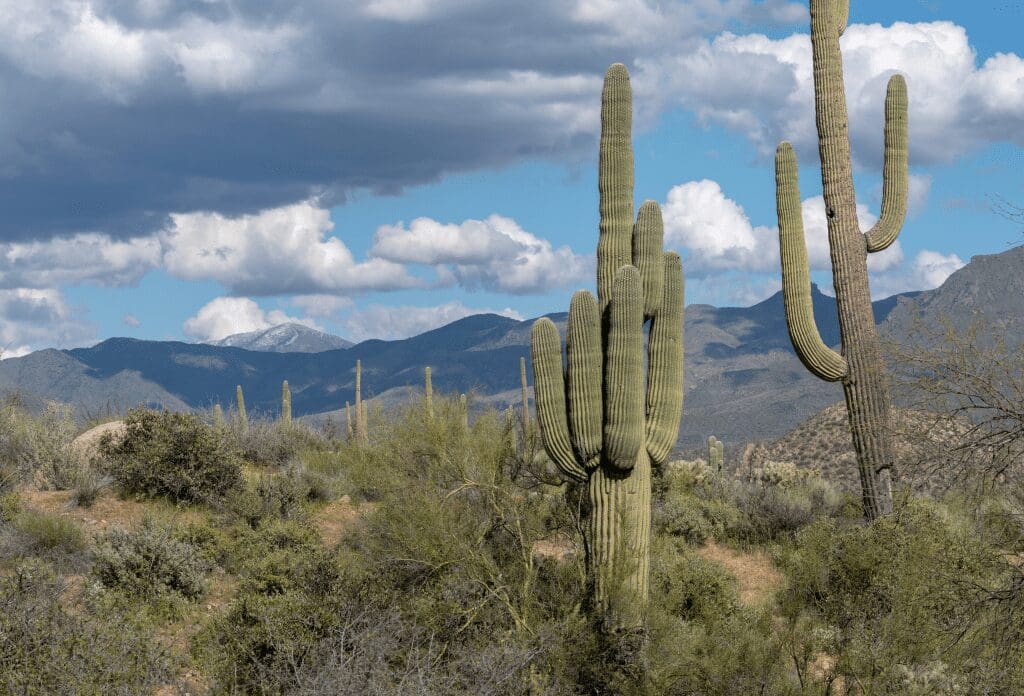
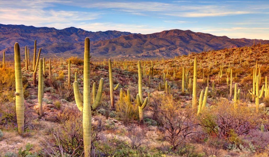
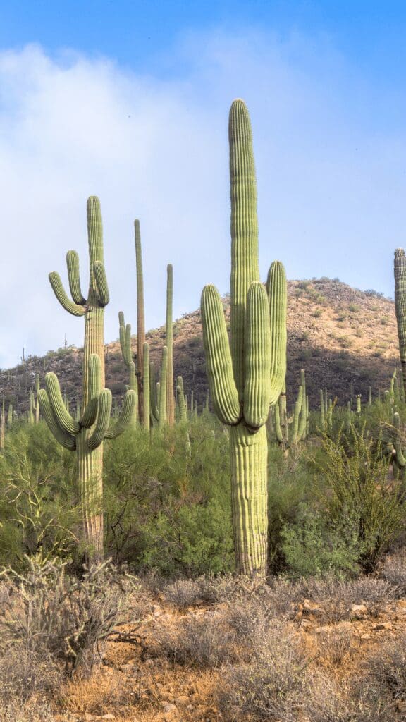
Saguaro National Park near Tucson, AZ, is home to the nation’s most enormous cacti. The iconic giant Saguaro is beloved and represents the American west. Unfortunately, it is only found in a tiny portion of the country, east, and west of Tucson, AZ. The park features these giants in its natural habitat and provides scenic drives, hikes, and wildlife viewing.
Live it up!
Best Things to do in the Park
-
Take the 6-mile drive on the Bajada Loop Drive in the West park to see the most numbers of Saguaro cacti
-
To get an amazing view of a valley full of Saguaro, hike the short Valley View Overlook Trail
-
Visit in late-May and June to see the white and waxy flowers bloom
-
Take the 8-mile Cactus Forest Drive to see the views of the East park, which is quite different than the West park
Our Visit
While in Arizona visiting Saguaro National Park, we had a great time catching up with one of John’s college roommates and his wonderful wife. We played golf at Troon North, a challenging and beautiful public course, and reminisced about our old college days. Check out our golfing video here.

Overview
Year Established
1994
Size of Park
92,000
Annual Visitors
1.02 Million
Interesting Fact
Saguaro is pronounced ‘Sah-WAR-oh’
Best Time to Visit Saguaro NP
We have linked a great website to this button showing the weather for this location by the month. Click below to be taken to Weather-and-Climate.com.
Park Information
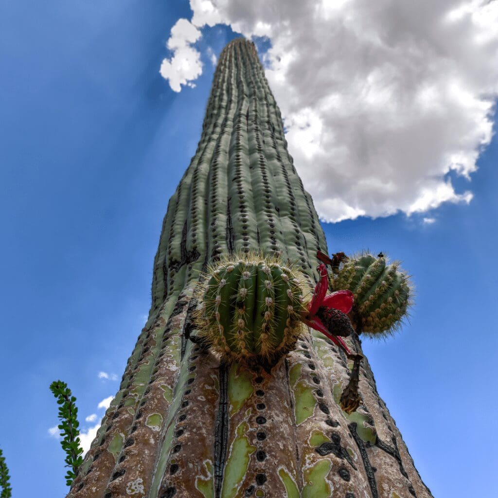
Saguaro National Park is located in Southern Arizona, near Tucson. This region showcases the unique desert beauty and is home to the country’s largest cacti (the saguaro cactus), which is also the universal symbol of the American west. The park itself is also named after this famous cactus (Saguaro).
Saguaro National Park has two sections, the western Tucson Mountain District and the eastern Rincon Mountain District. The western section is better for those who are short on time and want a quick understanding of the cultural and historical importance of the region. On the other hand, the east section of the park has more hiking trails and opportunities for backpacking.
Best hiking trails
The park’s eastern and western sections have over 165 miles of trails. Here are some of the best hikes in the park!
Hugh Norris Trail
This trail is a challenging trail for beginners and families as it is more than 8 miles long and has an elevation of around 700 meters. The trail takes you to Wasson Peak, but the journey is quite steep. During the first mile, you must navigate through rocks every few feet.
Wildflowers decorate the path; however, there is no shade. Once you reach the top, you will be welcomed by the surrounding views of the desert floor and mountains.
Gould Mine Loop
This 2.3-mile long loop takes you through a ravine before ending at Gould Mine, which was used to excavate copper in the early 20th century. There are also other wooden relics scattered all around the mine.
The Gould Mine trail meets the King Canyon and Sendero Esperanza trails at multiple points. The Gould Mine Trail is the shorter one, where hiking does not take much time as it has minimal elevation.
Mica View Loop Trail
This is another easy trail that is less than 4 miles long and forms a loop. The trail starts at the Mica View Picnic Area, where you will pass many cholla, saguaros, and other cacti along the way. This trail is one of the highlights of the eastern district of the park. It also has a shorter version where you can only hike for one mile and return before the Shantz Trail begins.
Tanque Verde Ridge Trail
Tanque Verde Ridge Trail is quite challenging as it is 20 miles long with an elevation of more than 1600 meters. However, starting at the Javelina picnic area, this trail is the main route if you want to visit the Rincon Mountain District.
Most of the trail is laid alongside a ridgeline, so there will be plenty of panoramic views of the national park and Tucson. If you don’t want to make the hike too long, you can also choose to hike it for just one mile until you reach the first peak. However, many backpackers choose this trail for its adventurous nature. You will also find the first campsite on the trail after 7 miles at Juniper Basin.
Douglas Spring Trail
Another trail suitable for backpacking is the Douglas Spring Trail which is 17.6 miles long with an elevation of 1,000 meters. The hike is not too exhausting, but the length poses the real challenge. Hence, only serious hikers choose this route!
The trail passes through forested land, which is different from the one you will find at lower elevations. Along with wildflowers and cacti, hikers enjoy the oak woodland on this route.
Camping in the Park
There are six designated backcountry campgrounds in Saguaro National Park where camping is allowed. There is no vehicle/RV camping inside the park and all campers need a permit before staying there. The campsites are not accessible by cars, and campers must hike to them.
Campgrounds in the national park include Manning Camp, Douglas Spring, Spud Rock Spring, Juniper Basin, Happy Valley Saddle, and Grass Shack. Manning Camp has six campsites, while the rest of the campgrounds have three. These camping grounds do not have any amenities and provide access to water as they offer only a basic camping experience.
Camping options near the park
There are other campgrounds in the area that also accommodate vehicles. Here are some of the campgrounds located near Saguaro National Park in Arizona!
Gilbert Ray Campground
Gilbert Ray Campground is located 4 miles south of Saguaro’s Red Hills Visitor Center and has 130 RV sites with 30 amp electrical hookups. While booking here is done on a first-come, first-served basis, booking your campsite well in advance is better.
General Hitchcock Campground
General Hitchcock Campground is about 20 miles from Saguaro National Park and is a sheltered, small campground with 11 sites. The sites are close to each other, so privacy is not the greatest feature here. However, some of the sites are located along Bear Creek among large rocks, which makes for a great view. There are restrooms available on the campground; however, there is no access to drinking water.
Molino Basin Campground
The campground is a 30-minute drive from Saguaro National Park. It has six tent pads, one accessible tent site, and a large group area. The campsites are booked on a first-come, first-served basis, and campers don’t have access to water.
Best Viewpoints
Bridal Wreath Falls
Bridal Wreath Falls is no Niagara Falls, but in a desert environment like this, any small waterfall will stand out. The waterfall usually has a nonexistent flow, but its location makes it unique. Situated in the middle of a multi-hued cliff, the sight of this clear pool seems welcoming and pleasant. People often come here to enjoy a snack or take a breather from the scorching sun, which Bridal Wreath Falls quickly provides!
Signal Hill
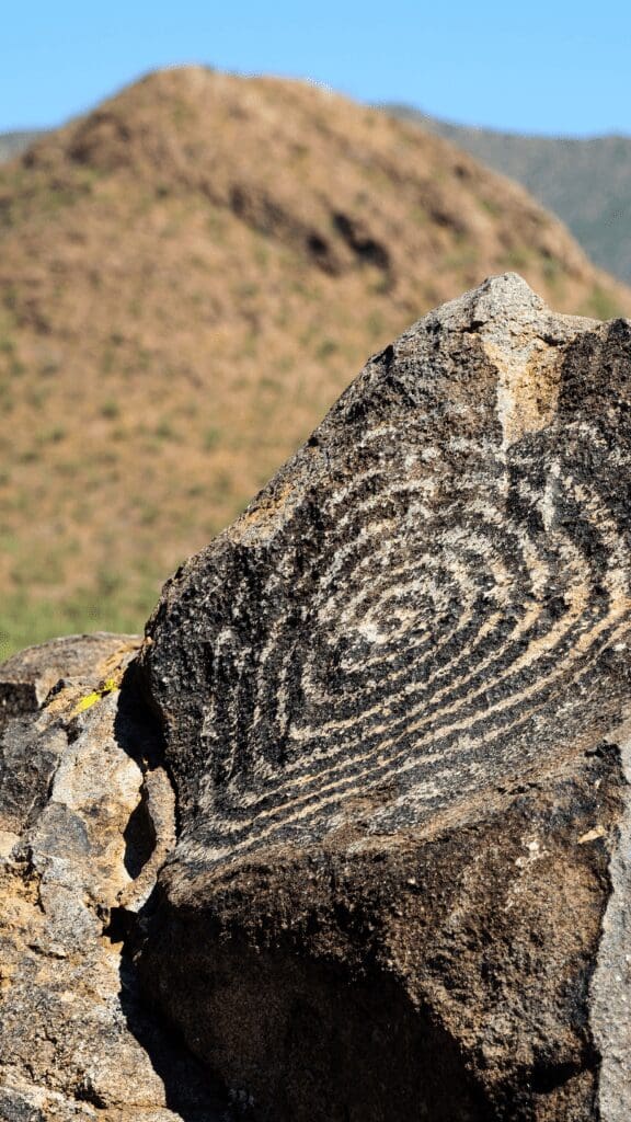
The national park has a rich history, as humans have inhabited this land for hundreds and thousands of years. Human presence in the area has been documented in the form of petroglyphs, remnants of cattle ranching, mining equipment, and frontier cabins. You can see the petroglyphs on the rocks here that may be 800 years old.
Tourists need to be warned about rattlesnakes which are often found in this particular area. So be cautious as you explore the place, and look out for any rattling sounds.
Valley View Overlook
The most striking feature of Saguaro National Park is that it is filled with giant cacti, and Valley View Overlook is an excellent place to start if you want to get a closer look at these plants. This viewpoint is popular because of its incredible view, but it is also unique as the hike to the outlook alone is fascinating. In addition, going to Valley View Overlook means you will also get to appreciate the prickly pears and ironwood trees scattered in the desert.
Wasson Peak
Your trip to Saguaro will be complete if you visit the highest peak in the Tucson Mountain District. Wasson Peak stands tall at 1429 meters, and there are several ways to reach the top. You can travel along ridges with grand desert views while navigating through the thick Saguaro forests to get there. All of this may sound exhausting, but the views will be worth it in the end!
State Information
Click on the button to explore the state and travel guides for the area.

Getting to the Park
Saguaro National Park in Arizona is conveniently located on each side of Tucson, Arizona. Tucson International Airport located near the parks and there are a variety of lodging options near the parks.
Explore another National Park in the USA
We’ve visited 51 of the 63 parks. Check out our other guides.
